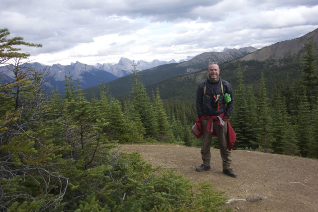
Skyline Trail in Jasper National Park, Alberta, Canada, is often regarded as one of the top backcountry alpine trails in North America. It features miles of above-the-treeline hiking with astounding views of the Jasper skyline. My daughter and I spent three days on Skyline Trail in August 2017.
Departing from the Maligne Lake trailhead offers the quickest route to the treeline, with several campsite options within a relatively easy first day’s hike. After driving two hours from the Jasper KOA, we set out from the Maligne Lake trailhead. The first two miles are an easy, relatively flat hike through the forested area near Lake Maligne.
Then the trail begins its ascent through several miles of switchbacks, all in the forest, before intersecting Little Shovel campground, which is approximately 5 miles (~8 km) from the trailhead.
We had booked our campsite several months in advance. I recommend reserving a campsite early, as they fill quickly. Careful planning, taking into account your abilities, resources, and campsite availability, is key.
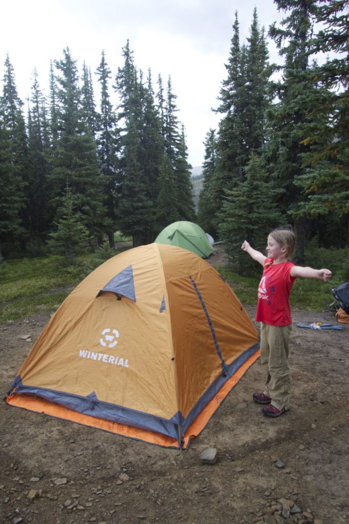
We pitched our tent at Little Shovel, our backcountry base camp for two nights. Little Shovel provides access to bear-proof food lockers, toilets, and picnic tables.
The temperature dropped below freezing overnight, and there was a thin crust of snow on the tent in the morning. Bear in mind, it’s a short hiking season, and you can encounter extreme weather conditions on this trail just about any time of year.
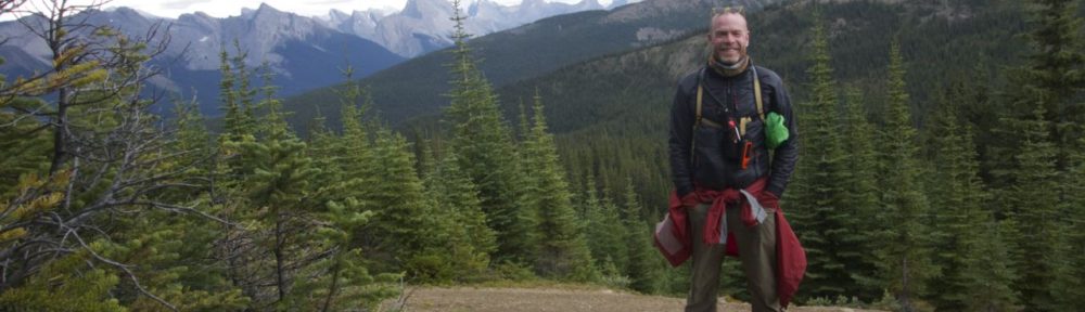
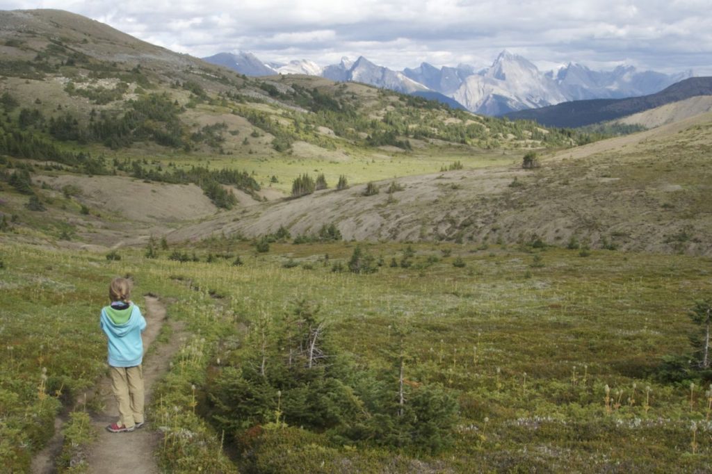
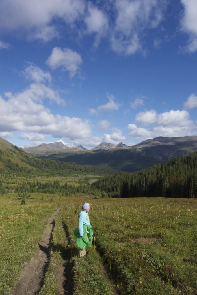
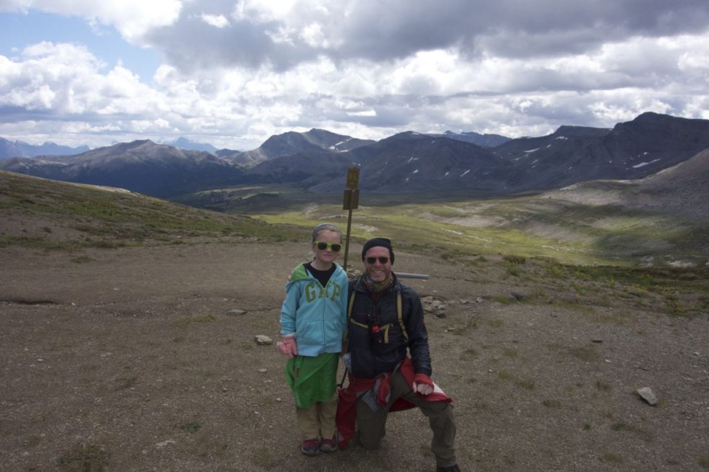
On the second day, we set out with a single light pack containing water, snacks, lunch, and emergency gear, on our way to the summit. A mile or so after Little Shovel campground, the trail emerged above the treeline. The views were spectacular from here on out. By 2 pm or so, we’d hiked about 7 miles, to the junction above Curator Lake, and decided to turn back to base camp.
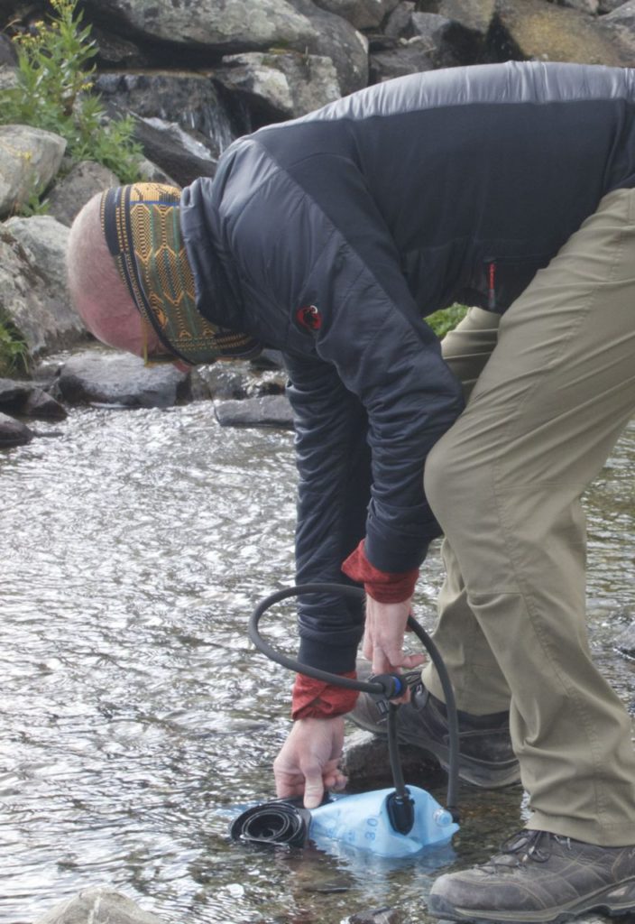
Skyline Trail has an abundance of streams. We packed nine liters of water, but we probably could have been safe with packing just three liters, and saved a fair amount of weight in the process. I used a Sawyer mini water filter placed inline in the tube from my 3-liter water bladder. I filled the bladder from a stream when needed. (This is where widemouth water bladders come in handy. The smallmouth bladders take forever to fill.)
Our snacks and meals consisted of nuts, trail mix, protein bars, crackers, and pre-packaged meals that didn’t require cooking. This selection prevented us from having to pack a stove and fuel.
On our third day, we packed up camp and headed back to the trailhead at Maligne lake. It rained, and we were ready with our rain gear, including backpack covers. We’d arranged for a ride to meet us in the parking lot, and we communicated our estimated arrival time via text message on the Garmin Explorer GPS.
If I were to backpack this trail again, I wouldn’t hesitate to use Little Shovel as a base camp, but I would set out earlier on the second day and make a strong push for the summit by 1 pm. The elevation gain between Little Shovel and the base of the summit is negligible. Hikers who are in good shape shouldn’t have any difficulty making the summit and back before nightfall.
I’ve toyed with the idea of blitzing the length of the 27-mile trail in a single day, but I’ll probably wait until my daughter is a bit older to do this, or partner with someone who’s willing to make a day of it. We encountered a number of hikers who were hiking the trail end-to-end in a single day. I expect it would be a fairly enjoyable excursion with a light pack. I’d still start at Maligne Lake Trailhead, and end a long day on the fire road. I’d have to drop a car at the opposite trailhead, or arrange for a ride.
Bear spray is a must. I kept it with me at all times, and I kept my daughter close. On our return to Maligne Lake trailhead, we saw what appeared to be a freshly popped bear spray safety on the trail. (It wasn’t there on our way in.) We ourselves didn’t spot any bears, but this is bear country – grizzlies, brown, and black bear.
Dogs and campfires are not permitted on the trail.
This is a backcountry trail, and, as such, there’s no cell coverage, and no ranger stations along the way. Be prepared for any and all emergencies, and carry more food than you expect to need. (As mentioned already, there are plenty of streams where you can gather water to filter or treat.)
Some of the gear we used:
– Winterial 3-season ultralight tent
– Cabela’s Instinct Scout 0°F Mummy Sleeping Bag
– EMS 0°F women’s sleeping bag
– Garmin inReach Explorer GPS communicator
– REI kids’ 40 liter backpack
– Kelty classic external frame backpack
– Oboz Bridger Women’s BDry Hiking Boots
– Lowa Renegade GTX Mid hikers
– Fox inflatable sleeping pads
– Sawyer Mini water filter
– Compass
– Gemtrek Trail map of Jasper & Maligne Lake
– Bear spray
The pictures on this page were taken on a Sony RX100 Mk2, a sharp, compact, and lightweight camera that slips easily into a jacket pocket.
More adventures: